

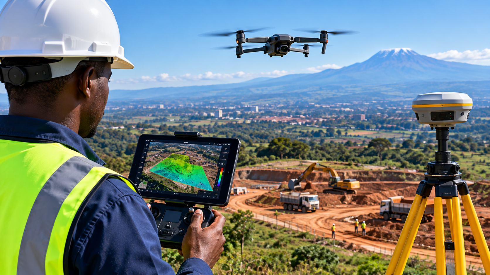

William G Solutions provides high-accuracy aerial survey services using state-of-the-art UAVs and LiDAR technology. We capture high-resolution imagery and dense point cloud data for infrastructure planning, topographic mapping, and environmental monitoring.
Our aerial LiDAR system delivers centimeter-level accuracy, ideal for terrain modeling, volume calculations, and corridor mapping. We serve clients across Kenya, with a focus on precision and timely delivery.